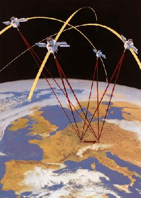
Satellite-Surveying ( GPS )
The Global Positioning System (GPS) is a navigation and positioning system that uses satellites, that means, e.g. that one can determine the location of a building with the help of satellites.
 |
Advantages:
There need not be direct sight between the points. Large areas can be measured fast and with high accuracy (24 hours per day, not depending on the weather). A detailed presentation of GPS can be found here ... From server of the company Trimble you can download the GPS satellite program Planning and the current free of charge. |
copyright by christian
boldt & maik voigt, vt-01, 27.05.2002